-40%
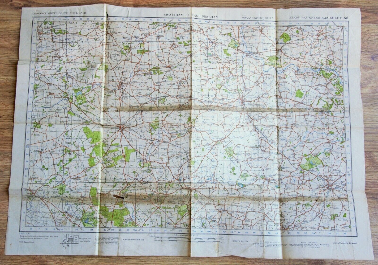
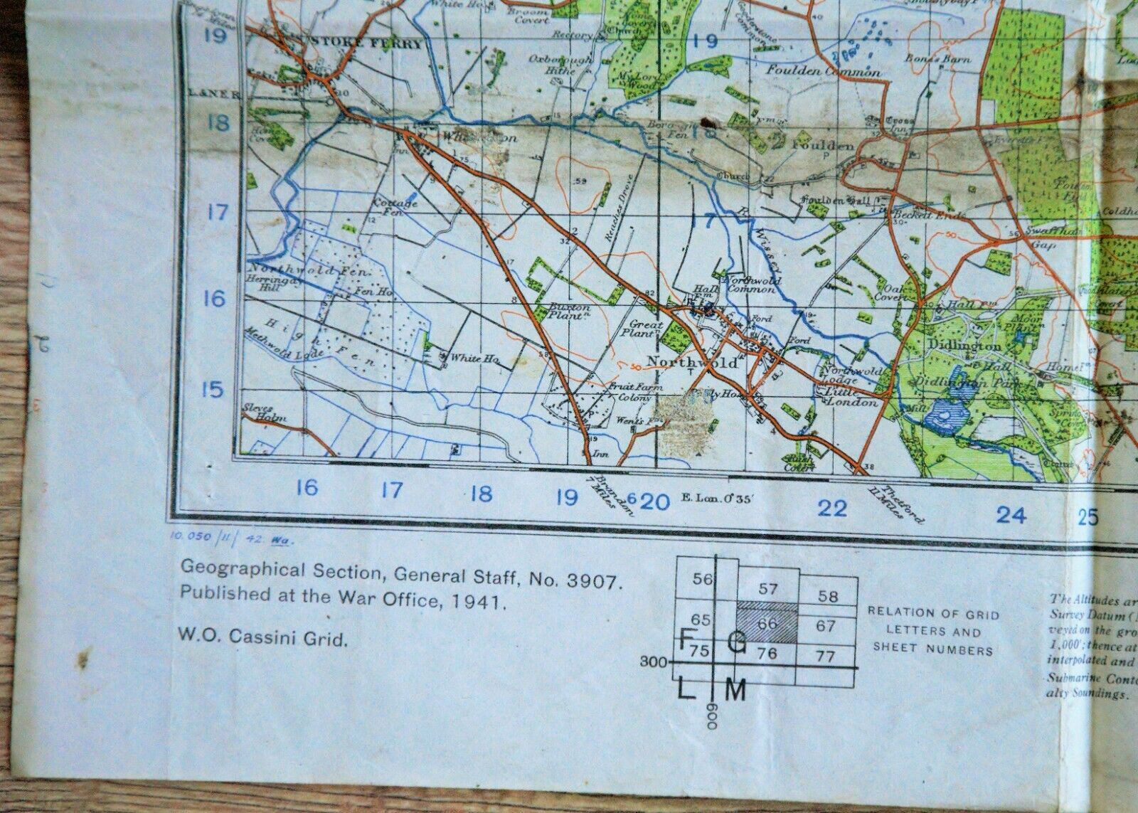
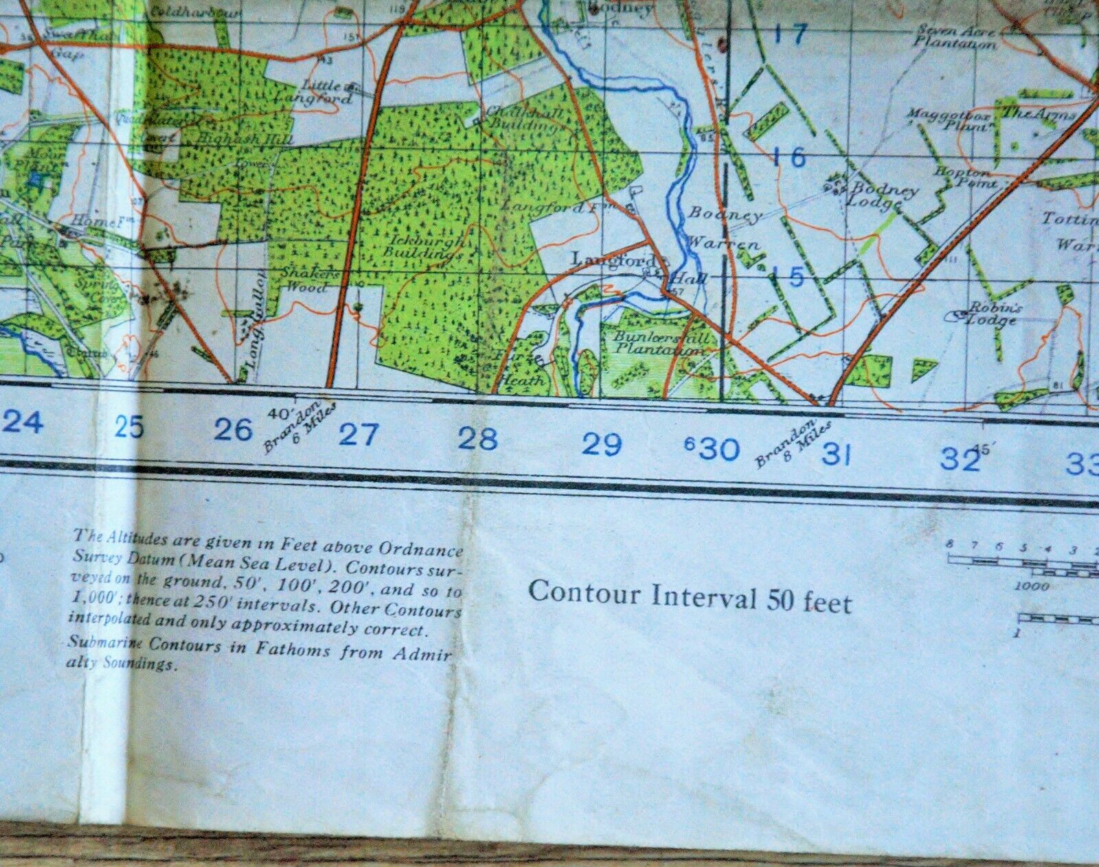
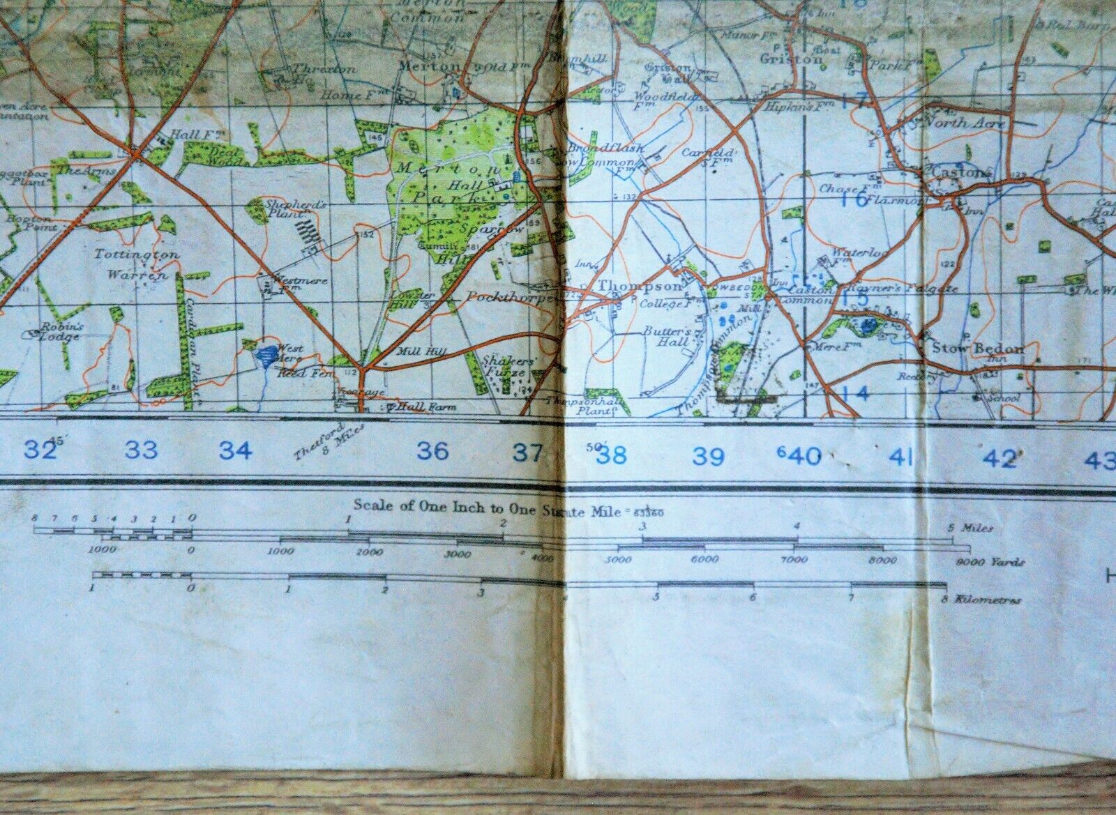
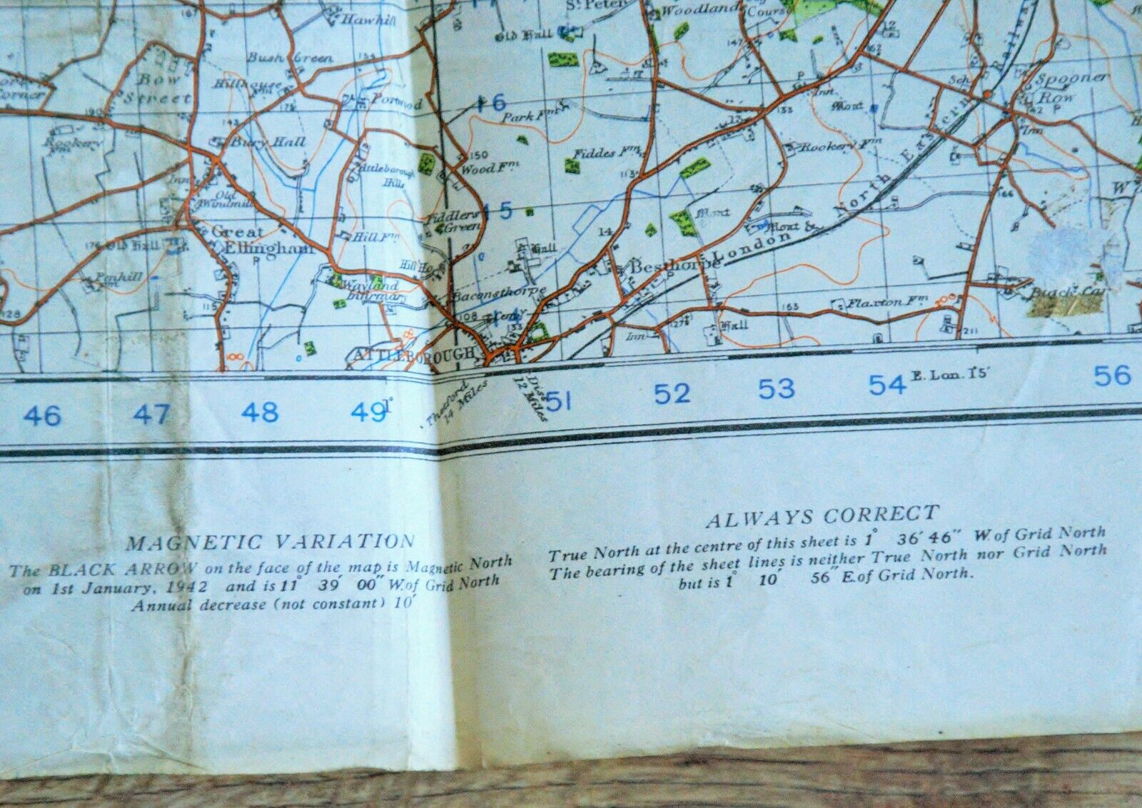
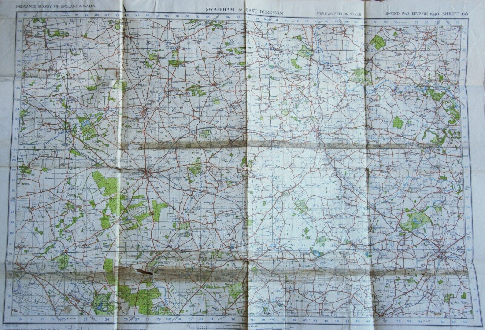
1940 WW2 British Military Map Swaffam & East Dereham War Office Issue Sheet #66
$ 5.76
- Description
- Size Guide
Description
WW2 Military Issue Map - Formerly the property of a RCAF officerRegion:
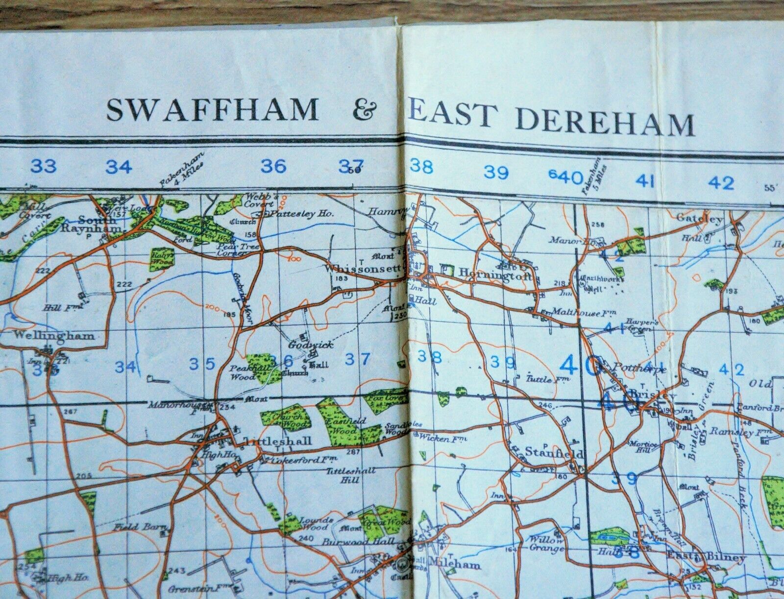
Swaffam and East Dereham, England
Ordnance Survey Sheet Number:
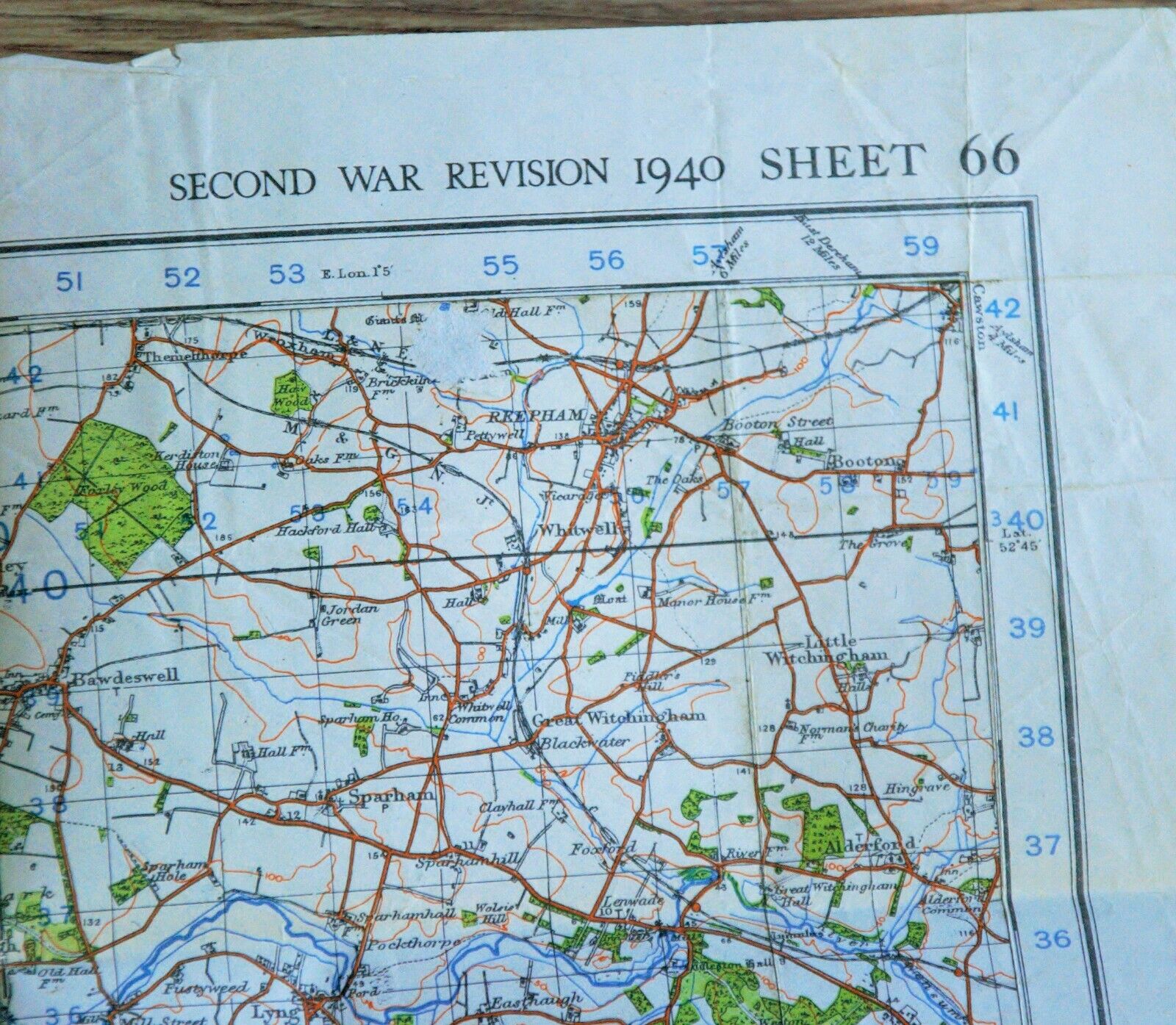
66
Date:
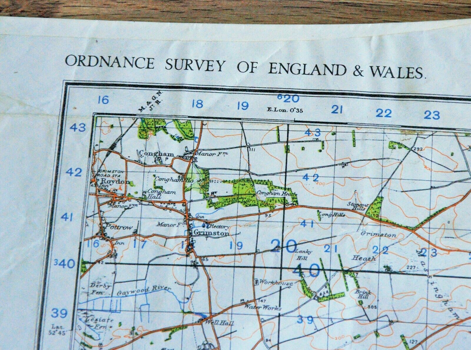
1940 WAR REVISION (Printed dates vary from 1940 - 1942 - please see pictures for confirmation)
Scale:
1 Inch:1Mile (1:63360)
Size when Unfolded:
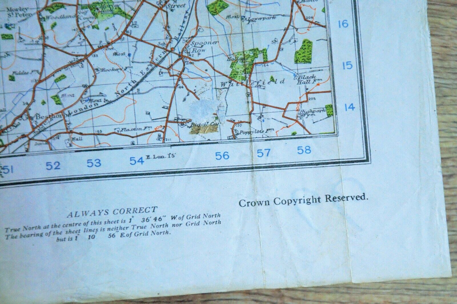
Approximately 30" x 22"
Original WW2 Military Issue Map - British War Office. Given the age, there are marks, discoloration, foxing and signs of age. May potentially have operational notes handwritten on the map, crumpled edges, small rips or tears, etc. Please review the clear pictures closely, you will receive the map pictured. Formerly the property of a Canadian RCAF officer. You will receive the item pictured, so the pictures are integral to the condition report and listing. Many other military maps listed.
